Rockstart in Moldova

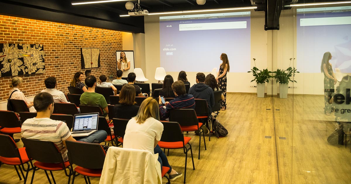
These past weeks we visited Karin van Soest, our youngest daughter, who organises and leads a startup program for early stage startups with a local partner (Tekwell) in Chisinau, Moldova. What a chance to see a place you would never think of going to! We spent 10 days with the locals, traveling with local public and private transport, the non-touristy way, and we got a real feel for the area.

Karin van Soest from Rockstart lecturing at Tekwell In Chisinau, Moldova
Chisinau Tram with Iron horses, on the way to Tekwell, Moldova
Tram with Iron horses in University park, Chisinau, Moldova

Chisinau Visits

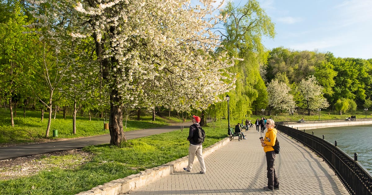
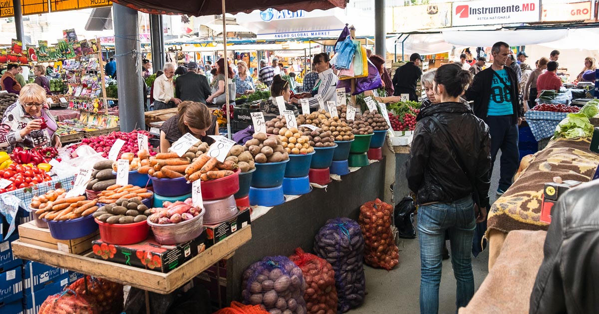
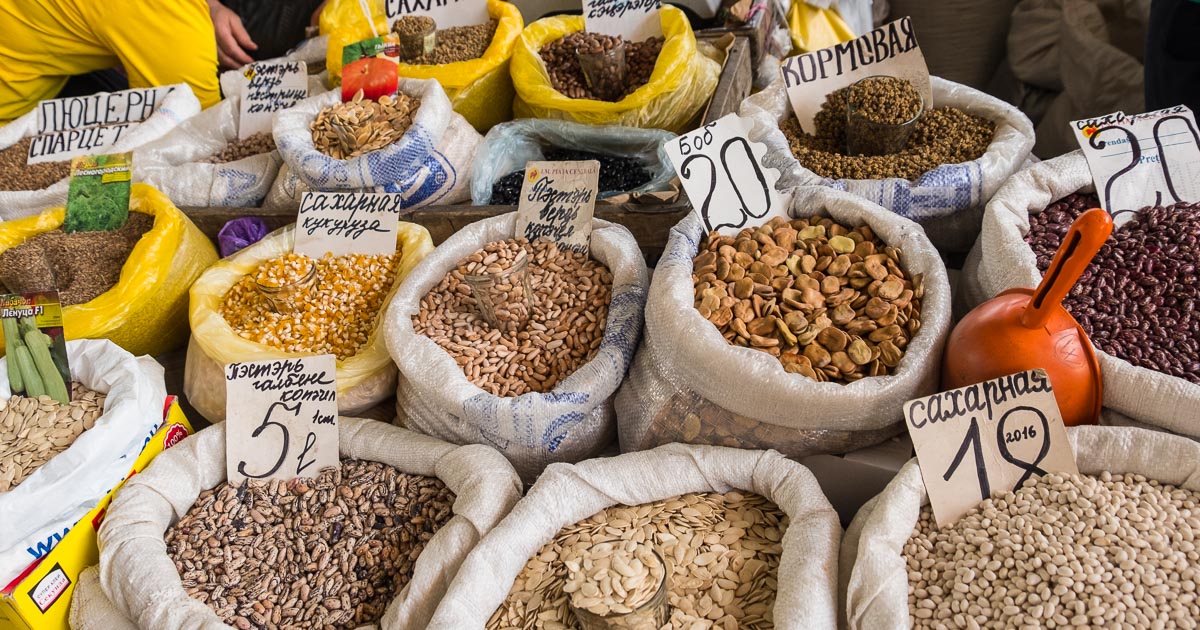
We visited the Valei Morilor park, the museums and the huge market in Chisinau, the latter is where we went in search for the local busses that leave for all the surrounding regions of Chisinau, the capital.
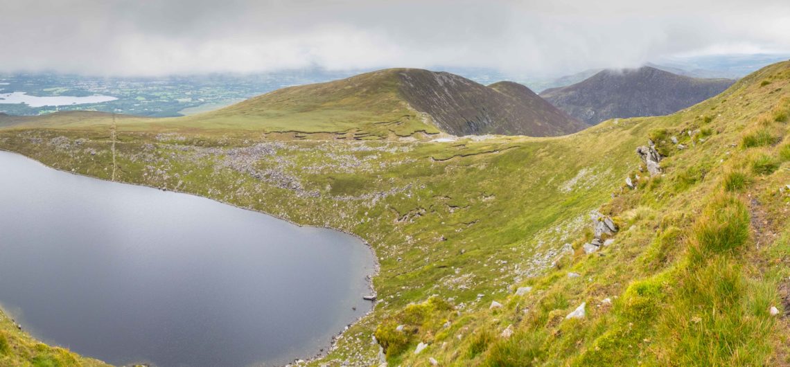
Valei Morilor park flowering cherries, lake, National Canoeing training centre
 Chisinau market, fresh spuds, fruit and vegetables, Moldova
Chisinau market, fresh spuds, fruit and vegetables
Chisinau market, Beans, Peas, Pulses and dried fruit Moldova

Orheuil Vechi visit

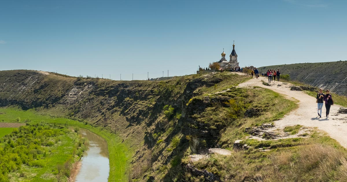
We finally found our “maxitaxi” to go to Orheuil Vechi, a place with a great amount of history and cave systems. Our adventure was made much easier by dontstopliving.net, the blog of Johnny Blair from Bangor, who had visited three years ago, and gave us lots of invaluable information on where to find the transport, and about the Monastery and village where we visited.

Orheiul Vechi Monastery, Moldova
 Orheiul Vechi wedding, Moldova
Orheiul Vechi wedding with local traditional dress, Moldova
Orheiul Vechi BMW tractor, Moldova
Orheiul Vechi BMW tractor
 Orheiul Vechi horse and cart going to the fields, Moldova
Orheiul Vechi horse and cart going to the fields


Chisinau National History Museum and Orheiul Vechi Treasure trove

Chisinau National History museum, Moldova
Chisinau National History museum

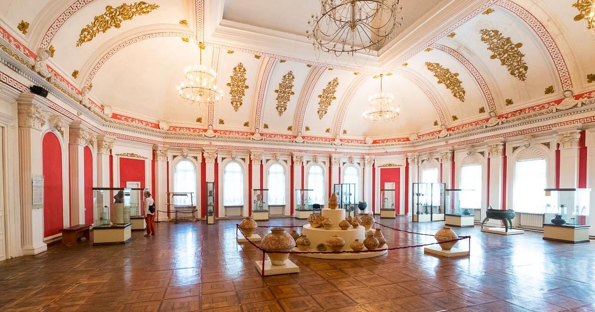
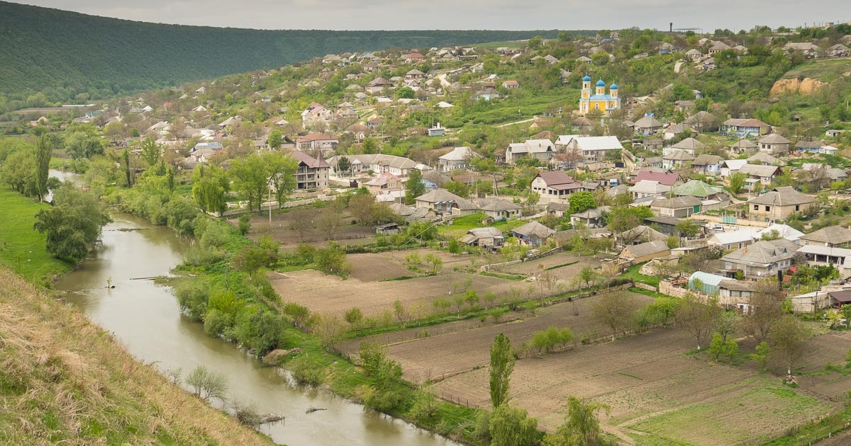
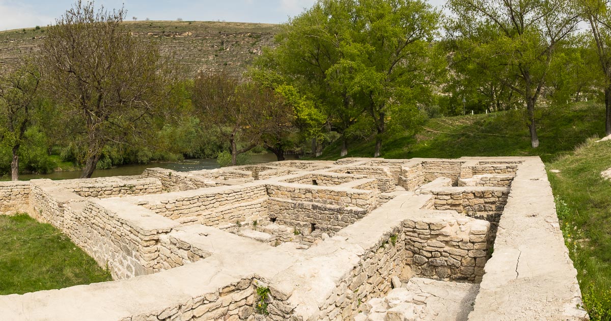
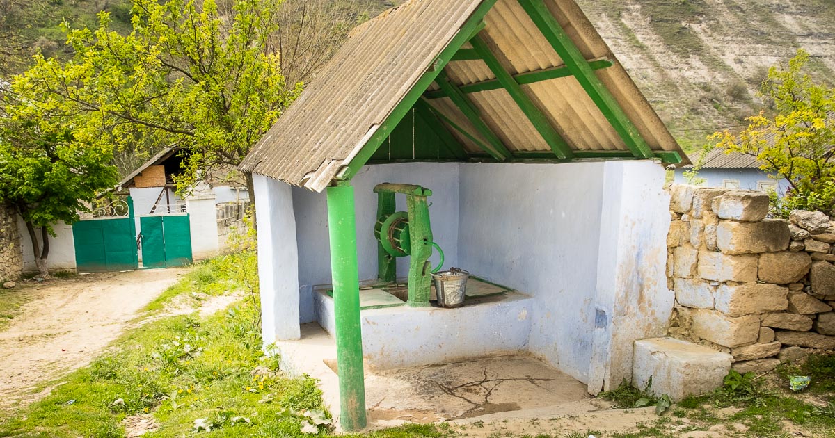
Later back in Chisinau, when we visited the museum, we found that a huge hoard of coins, medieval bathhouses, and other 14th century buildings were found by the bridge over the Raut river, a few kilometers away in Trebujeni; so a few days later back we went to see this village and surrounding area, caves and beautiful views of this valley. We find it is better to explore one area in detail, than to try to travel to to many places in a short period of time, we find that you can only experience very few things that way. During our day trips we had lots of contact with the villagers and the children. They spoke very little English but this didn’t stop us from communicating and we lots of fun and a new experiences for us as well as them. We noticed that very few tourists visit this little village, only a few kilometers away from the well sought out tourist destination of the monastery of Orheuil Vechi.

 Trebujeni village, Raut river and Orthodox church, Moldova
Trebujeni village, Raut river and Orthodox church
 Trebujeni Medieval bathhouse ruins and caves in background, Moldova
Trebujeni Medieval bathhouse ruins and caves in background
 Trebujeni well one of many with beautiful fresh water, Orheiul Vechi, Moldova
Trebujeni well one of many with beautiful fresh water

Epic Journey to Piatra Neamt in Romania

Zero Grazing, Using the long acre to feed the horse and cows Rumania travel
Zero Grazing, Using the long acre to feed the horse and cows Romania travel


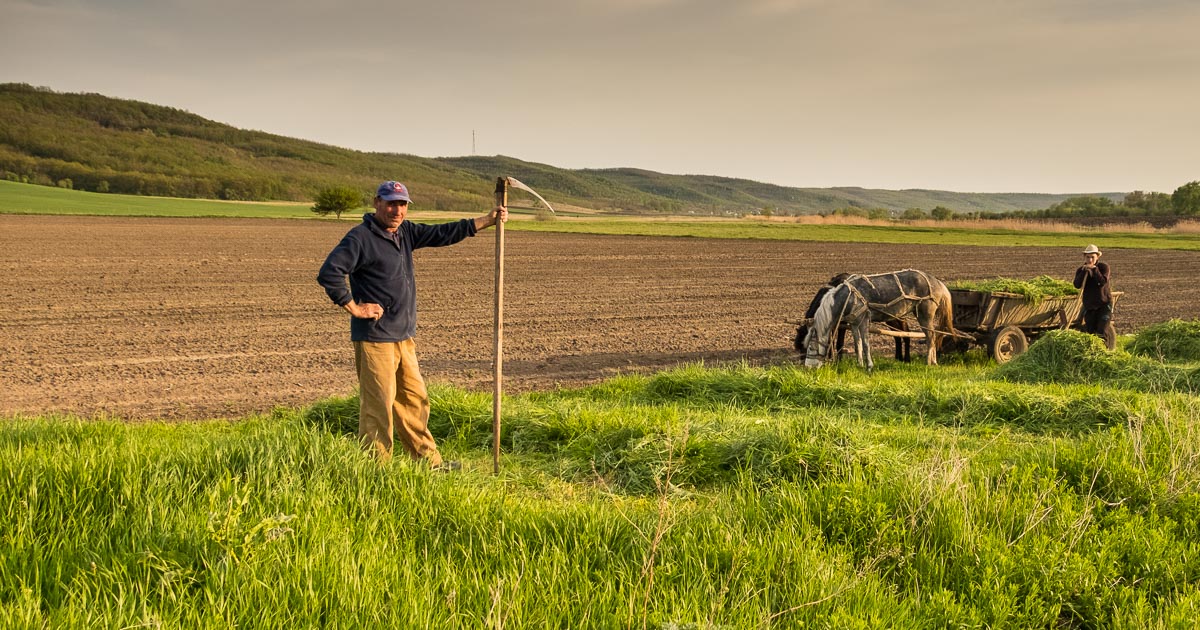
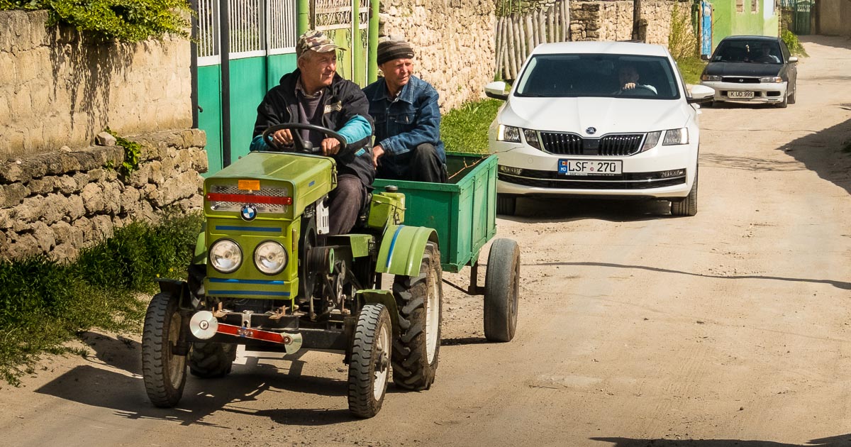
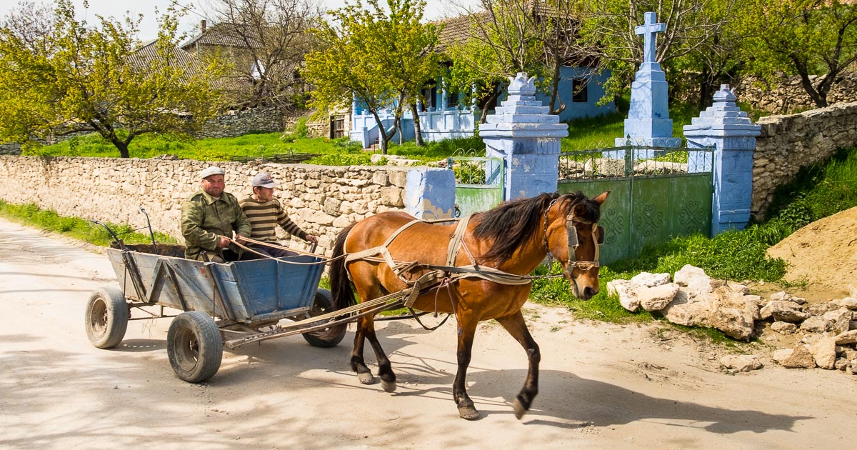
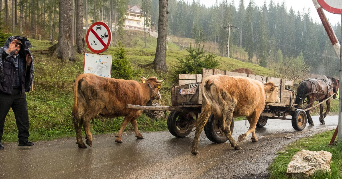
During the second part of our trip we ventured to Piatra Neamt in Romania, this was an epic journey that in distance was only 300 kilometers each way, but it took a whopping 7 hours each way, and included an old style border crossing which reminded us of our days crossing into Eastern Germany when the wall was still in place. This did give us the opportunity to see much of the countryside, where fruits and vegetables are being grown around the house, and we saw a big difference in the agriculture where in Moldova there are no fences and each single cow is tethered with a  ropes to graze, or bigger herds of sheep and cows were tended by shepherds. In Romania you can see how they are much further advanced with farm technology and machinery. Big plots of beautiful fertile soil were tended with old and very modern tractors. And yet we were amazed to see that much was being transported with horses and carts. Farm yard manure, hay, timber, and farming implements were all being taken in this manner to the smaller private plots.

Piatra Neamt church and skiing cable car Rumania_
Piatra Neamt church and skiing cable car Romania_

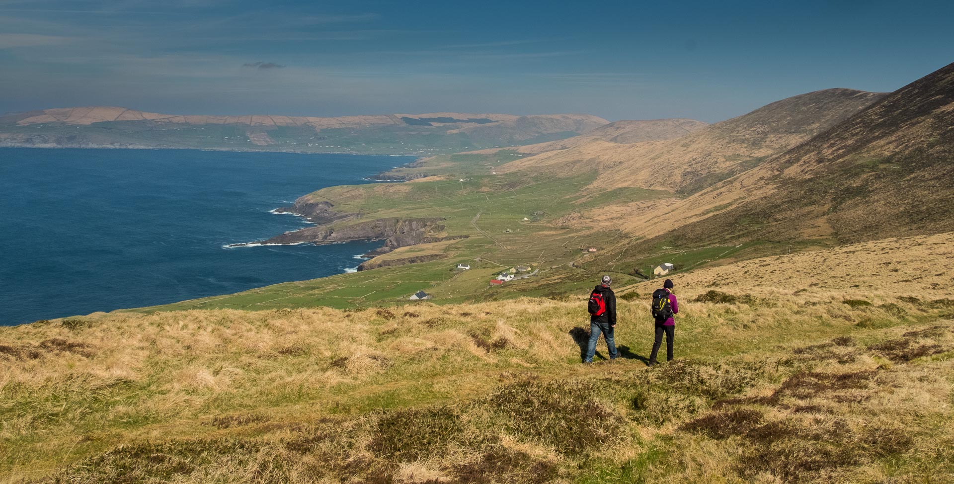
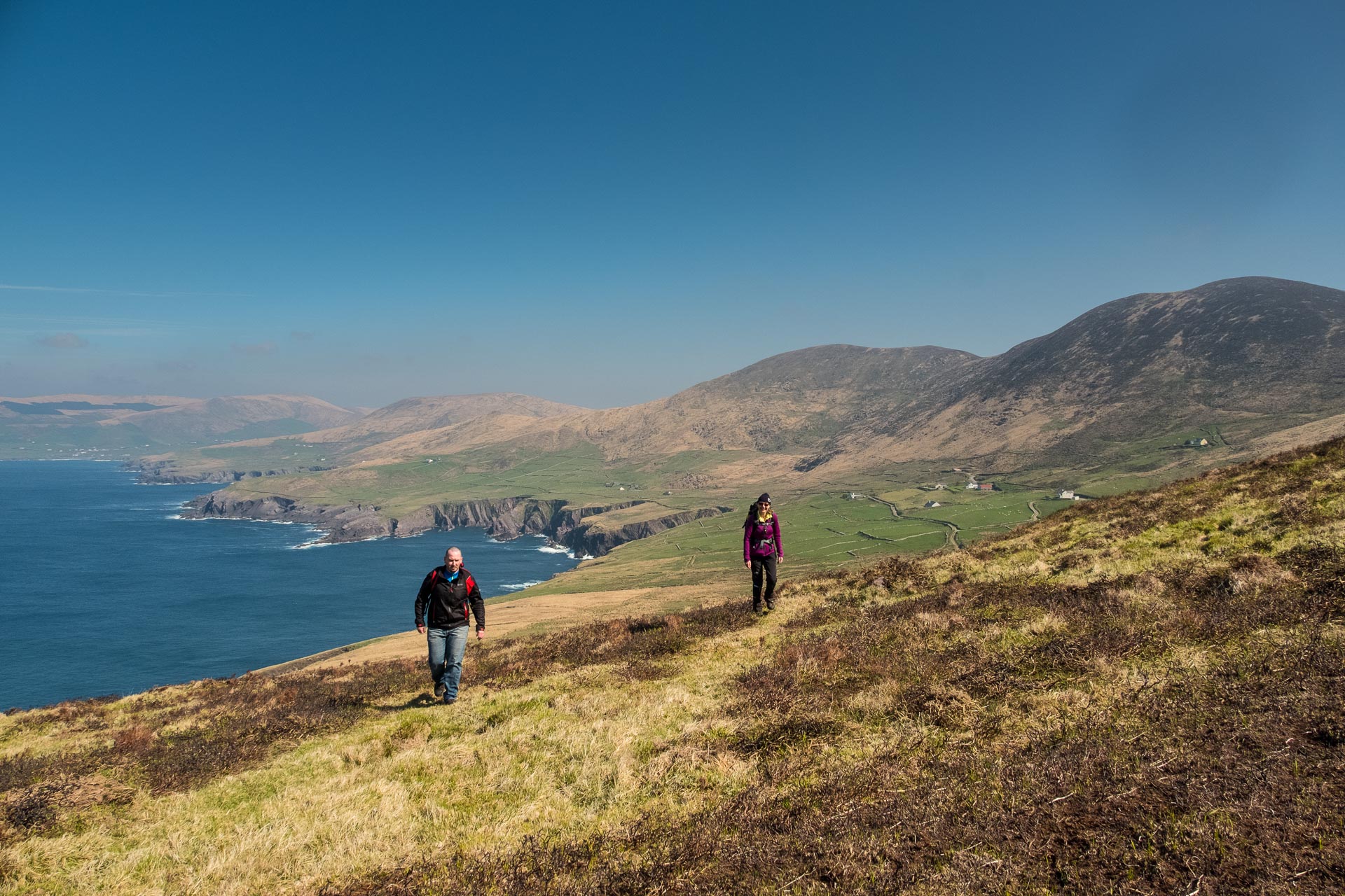
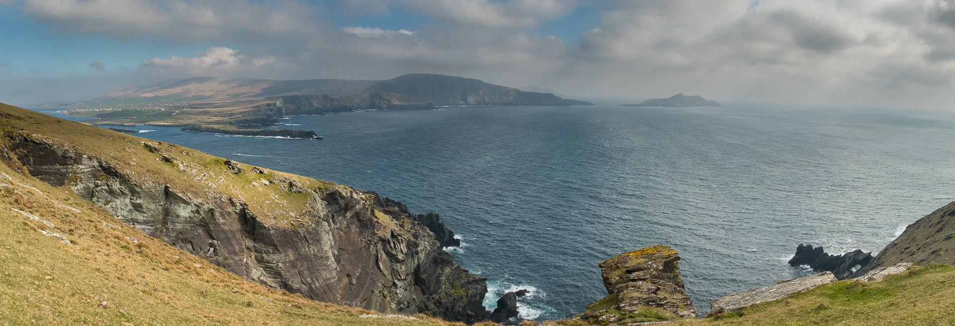
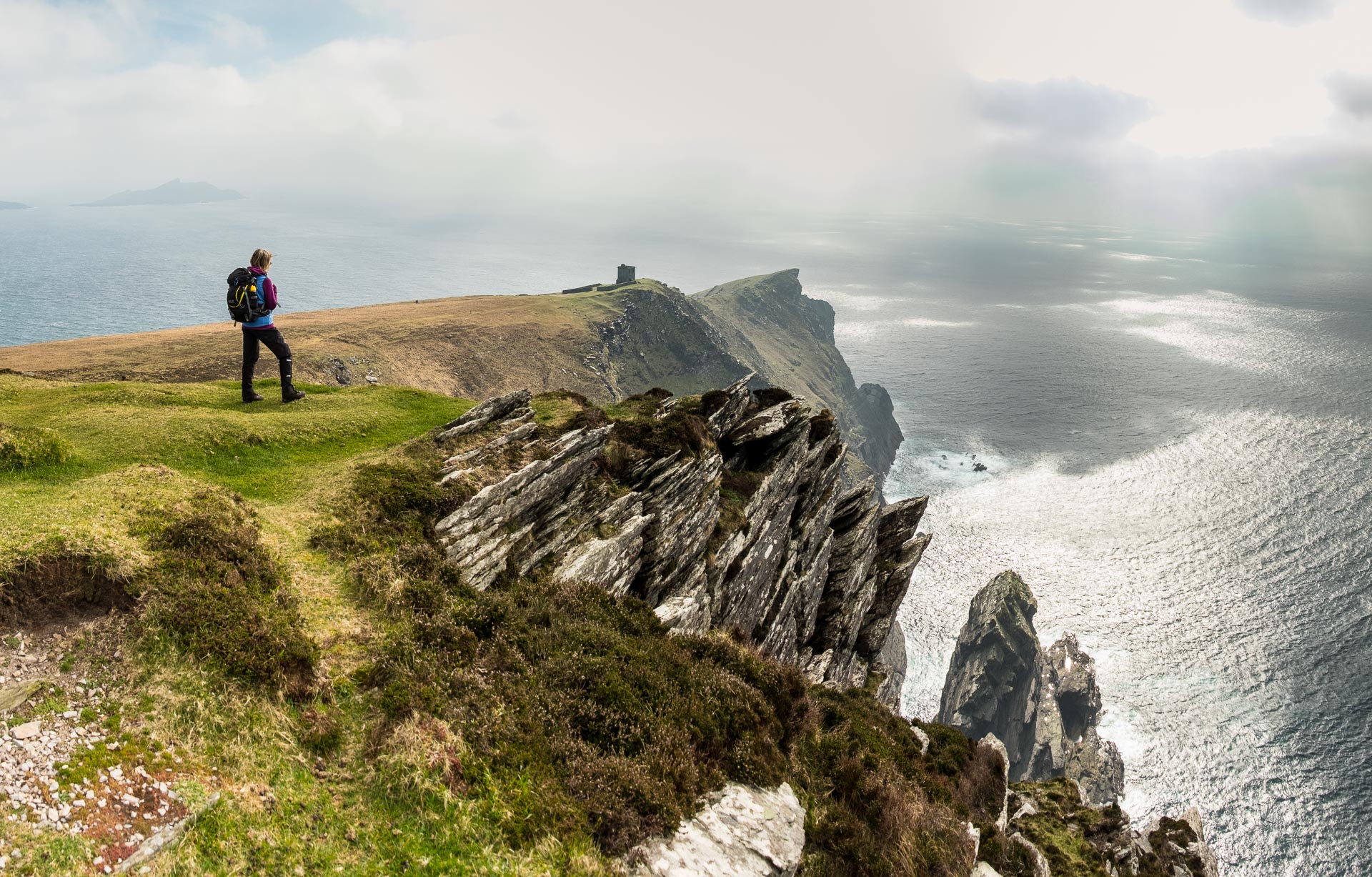
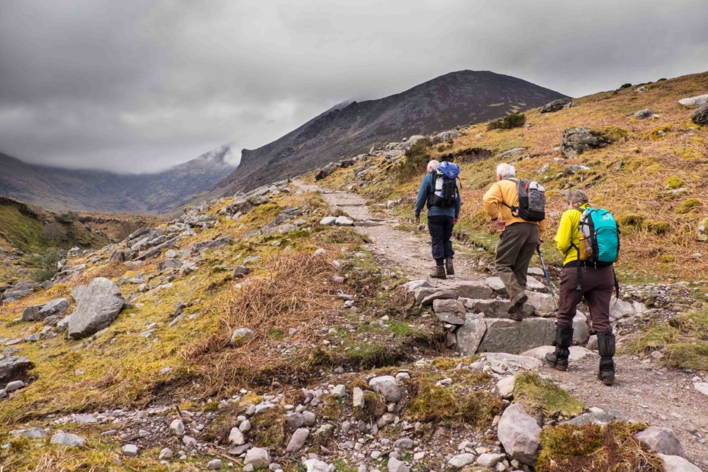
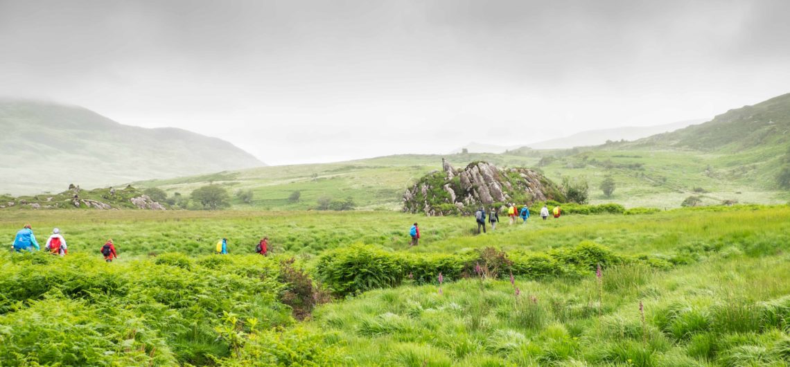
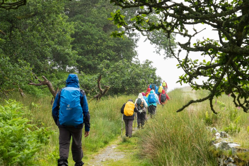
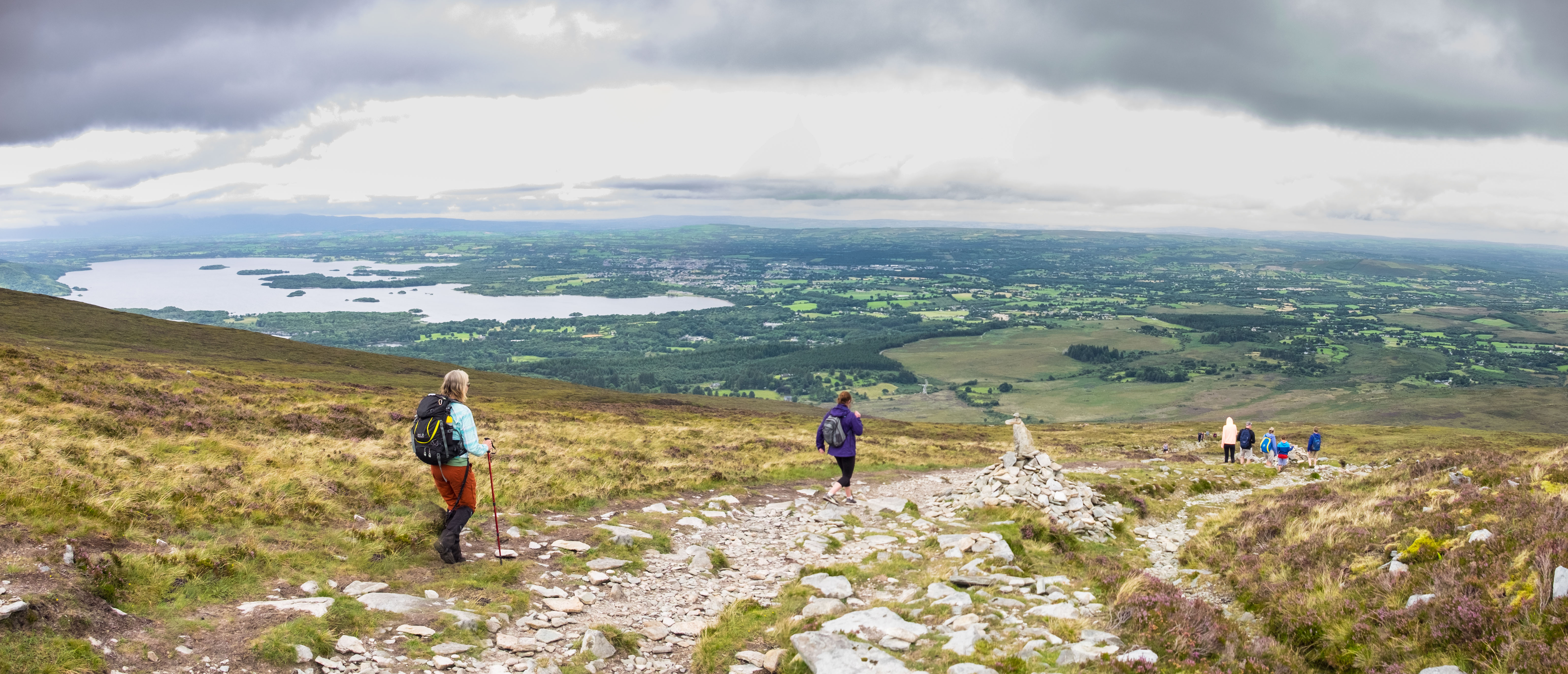
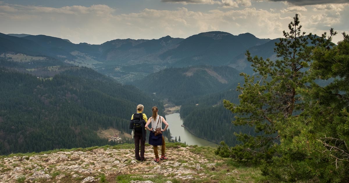
Our destination in Romania was Piatra Neamț in the North East Region of Neamț. We had come so Karin could meet with her potential future partner there and to see the city it would run in. Piatra Neamț is a ski resort in the winter, and in summer it is a perfect hiking destination. So as suggested by Vlad and Ana (a huge thank you again for all your directions and maps) we went for a hike near the Red lake. It was a 1600m high gorge with mountains and forests all around where we could walk around the mountain to get to the beautiful panoramic views at the top. The walk was well signposted and boasted some great information panels about the local wildlife, fauna and flora, and warning us to stay clear of some local snakes and spiders.

 Bicaz canyon and red lake Rumania_
Bicaz canyon and red lake Romania_

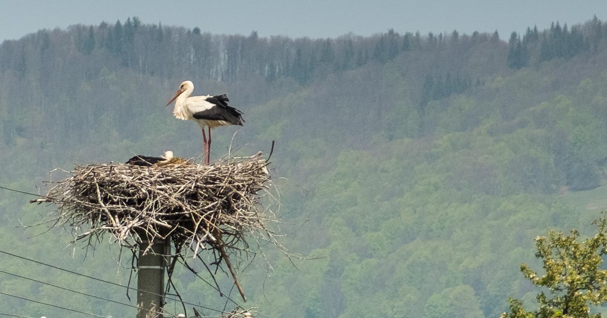
After our hike, we passed a stork nest, before stopping at a local shop for supplies, and later a very small village pub, where with sign-language and 3 words of Romanian we managed to make ourselves a very needed cup of black tea with milk (note the Romanian “chai”, resembles very close to the Irish “cuppa cha”) made with our stache of Barry’s tea bags, as the lady usually only served coffee and had none. We really felt the continental climate with spring temperatures rising up to 28 Celsius, indeed showing us how the real summer can be mighty hot, with temperatures up to 40 degrees!

 Stork in the Carpatians, Moldova
Stork in the Carpatians, Romania


Goodbye friendly farmer, red lake, Piatra Neamt region Romania

goodbye from the local in the Carpatian Mountains, Piatra Neamt, Rumania
Good bye from the local in the Carpatian Mountains, bringing the cows home in good Irish weather

All in all we had a fantastic time in Eastern Europe and look forward to coming back for more.
Can’t get enough of our stories, keep reading at wawt.ie/news!


Two head Loop walks in South Kerry, Bolus and Bray head.

We wanted to check out some walking in the Ballinskelligs-Valentia area for one of our Wild Atlantic Walking Tours German clients, and did this last Saturday, a day starting out really cold, turned sunny and warm, but with a stiff breeze blowing all day. It turned out a different day with breakfast at Barbara’s Cafe Cois Trá, lunch at the Moorings in Portmagee between both walks, finishing of at the Point Seafood Bar, at the Cahirciveen side of the Valentia Ferry crossing.

Both walks are Loop walks, with Signal towers from Napoleon times on each one.  The Bolus head walk is 2,5 hours long and more strenuous; Bray head 1,5 hour with an easy in and out path, or the loop option via the higher cliff.  Bolus head Signal tower is more extensive, and outside it there is a 2nd WW lookout post, used to keep a lookout on German U boats and allied shipping, passing by the neutral Irish coastline.

We left Kenmare early and had a toasted sandwich breakfast at Barbara’s Cafe Cois Trá at Ballinskelligs beach, full of historical photos and copies of local history books. Then we went down to the shore and McCarthy Mor Tower House, built in the 16th century to protect against pirate attacks, and went on to explore Ballinskelligs Abbey, founded for monks who came to the mainland from Skellig Michael in the 12th Century after numerous attacks by Vikings. The Priory was dedicated to St. Michael, as was Skellig Michael, and the monks adopted the Augustinian rule.

We then met a blow-in local, Greg McNamara, musician, sound recording engineer, and runner., who lives with his partner photographer Madeline Weber down the road.

We drove to Bolus head and parked at the Air memorial, the monument to the American Liberator, which crashed off the Skelligs in 1944, below it is the small Doongar promontory fort.  Starting the Bolus head loop walk, follow the narrow road around to the right. It follows the coast with spectacular views over Puffin Island, and then the Skelligs further to the left; with gannets diving in all over Saint Finans Bay. On top, we had a good look at the Signal tower with its walled outside area is quite extensive, and outside it there is a 2nd WW lookout post, used to keep a lookout on German U boats and allied shipping, passing by the neutral Irish coastline.

After this walk, we had lunch in Portmagee at the Moorings and Bridge bar, next to the bridge to Valentia Island, and the point where the boats leave for the “Star Wars” Skellig Michael. Afterwards we drove over the bridge turning right for the well signposted the Bray head walk on Valentia Island; very busy with locals and tourist walking the lower in and out path, while we went around the right-hand side higher loop via the cliffs, and looking down on the square Signal tower, and the narrow point of Bray head.

Bray head view to Puffin Island Bray head view with signal tower on the walk with Wild Atlantic Walking Tours Bray head signal tower from below on Valentia Island


After these walks, windburned and well exercised, we drove down to Knights town, but we were too late for cake and tea at the beautiful coffee and bookshop, so we took the ferry to The Point Seafood Bar on the other side, looked for tea and cake there, the answer was, no Cake but lots of great Hake!! We enjoyed the tea and chocolate bars.

Knightstown Bookshop Cafe

We chose to drive home from Cahirciveen to Kenmare via Bealach Oisin, and got this beautiful evening view of the MacGillicuddy’s Reeks and nearly full moon. What a day!

Bealach Oisin looking at MacGillicudy' reeks


Vision of the future for Irelands Mountains and Hills

Yesterday evening we attended Mountaineering Ireland local meeting for its members in the southwest of Ireland at the Oriel Hotel Ballincollig.

Wild Atlantic Walking Tours withMountaineering Ireland vision development paper

The objective of this evening was “How do we as hill walkers and members of Mountaineering Ireland, be the voice for Irelands Mountains”, and develop a new mission statement.  To discuss and bring some Blue sky thinking to the problem of erosion of tracks and trails on the mountains and hills by the increased footfall due to a more Active Ireland and growing Walking Tourism.

The increased use of 4×4 vehicles, Quads and the large scale development wind farm projects can also damage the vulnerable upland landscape

In the introduction by Helen Lawless,  we heard of some very interesting statistics:

Wild Atlantic Walking Tours at Mountaineering Ireland regional meeting
Helen and Patrick co-leading vision development

– 5.88 % of our Irish landscape is 300m above sea level

– 0.35 % of our Irish landscape is 600m above sea level

– many of our mountains have a large percentage of blanket bog which has a poor ability to repair itself but accounts for a large carbon absorber.

– 80% of our water comes from our mountains and streams.

-15% of our uplands is state owned, the rest is privately owned land and our accessibility to these lands is only due to the good will of the owners and some existing right of ways.

– Most of this land is farm land, on which a large proportion of aging landowners are involved in farming for their income, not tourism, and the EU subsidies do not take into account their important role as landscape guardians.

Wild Atlantic Walking Tours at Mountaineering Ireland mission statement discussion paper
Mountaineering Ireland mission statement discussion paper

Through Agricultural policy we can Influence management of uplands but there is an inspiring success story of the Reeks maintenance project, which employed local farmers to repair the erosion of the track leading into Carrantuohill. This is a pilot program, where the local farming community, through the Reeks access forum, gets additional employment repairing the damage with local materials after training by Scottish teachers.

Erosion repairs by Reeks Access forum team in Hags Glen

We at Wild Atlantic Walking Tours want to support and share this vision of respect and careful use of Irelands Mountains into the future to our customers.


Last weekend daylight saving ended as the clock turned back an hour and we said goodbye to the summer of 2016. The changing season has turned the woods a deep red, yellow and brown, transforming the landscape into the brief splendor of autumn. The woods and mountains are echoing with the whistling calls of rutting Sika deer, so it is about time to adapt ourselves and change our walking gear for autumn walking during the shorter, wilder days to come. Our summer shirts and sun hats are replaced by warm, insulating layers, hats, gloves and our newly waterproofed outer gear.

After daylight saving has ended, the darker, shorter days, warrant timely starts on our walks. We need to make sure enough light is left for us and our walkers to make it through the mountains trails before the sun goes down. The terrain can be wetter and the rivers higher, this time of the year, be sure to be visible at all times when walking the rugged Irish mountains, as your visibility is your first safety line. We practice what we preach in our bright coloured gear, fleeces, body warmers and light waterproof jackets that we added to our wardrobes before the autumn season.


Autumn Walking


During our last day of guiding for Eberhardt walking tour group, we experienced some wet and even wild conditions in the Gleninchaquin Valley, but all 16 walkers went home happy. They had experienced the adventures of Kerry and Cork’s Wild Atlantic Way and were able to admire the changing landscapes each and every day. We finished the last day of walking by climbing over the Gleninchaquin waterfall and down to the Gleninchaquin café for a hot cuppa with Pete.

If you would like to experience your own autumn walking and experience the adventures and spectacular landscapes of the Beara Peninsula and Gleninchaquin Valley, book the Gleninchaquin walk today.

Autumn walking
Three Castles, an 11th century O’Mahony built Dunlough Castle on the extreme South-west point of Ireland

On Saturday we walked Mangerton Mountain outside Killarney, a mixed group of Australians, English and some people from Cork were on the mountain with us. We started at the monument for the battle of 1262 AD at Cormacs Haggart, then a level 3 walk going up from 140m to the Devils Punch bowl outlet at 650m for a nice lunch stop.

The weather was cloudy but fine, Mangerton just clear of the clouds about with a warm feeling 17 degrees.

After that we went up around the Devils Punch bowl, with spectacular views over to Kenmare bay and the whole McGillycuddy’s reeks. After reaching the top of 834m we carried on around the steep ridge with views down into next 2 lakes, in deeply cut glacial valleys. The way down is over a rocky path, taking our time to stay comfortable and safe. Tea and cake were very welcome afterwards at Muckross House Garden Restaurant, a great walk on a good day.

Mangerton Walk Wild Atlantic Walking Tours

Book the Mangerton guided walk today.

At WAWT we have just completed our walking week with 18 German walkers and their guide walking the Four Peninsulas in the southwest of Ireland (Kerry-Cork).

We began by walking the Sheepshead Peninsula from Cahergal via the Crimea, passing copper mines and abandoned villages. This stretch has stunning cliff walks with views across to Bere Island and the Beara Peninsula. Then we walked further, passing by the lighthouse and around Tooreen by the lake, to Bernie’s Sheepshead Café for a well-earned rest and a chance chat with the group.

Next onto Bere Island on the Beara Peninsula; we made the crossing on Colum’s Ferry, then we walked to the lighthouse and up to the signal tower for our lunch with panoramic views over Hungry Hill on the mainland, and Castletowberehaven harbour. Then we followed the Military Road up to the Cross, and down to the Loophead Café, finishing with a pint in the iconic McCarthy’s Bar in Castletown, as the author Pete McCarthy himself recommended!

Next day we ventured on the Dursey to Allihies walk located on the tip of the Beara Peninsula from the Dursey Cable car station over Ballaghboy Mountain, with beautiful views over Black Ball Head and the Skelligs, to lunch on Garnish strand. We continued along Lackacroghan and Knocknahulla to Allihies and the welcoming Allihies Mining Museum and Café, at the walk’s end.

On the Iveragh peninsula we walked the Old Kenmare to Killarney Road, climbing by Pikeen to the Windy gap, before descending towards Galway’s bridge. Turning right, we then ascended through ancient moss-covered Oak woods and Esknamucky Glen, passing Torc Mountain, and down the steps to Torc Waterfall, for teas and coffees at Muckross gardens in the National Park.

The following day found us on the Dingle Peninsula: number four! We began at the renowned Paudi O’Shea’s Pub onto Ventry Strand, by Raheen, and then followed the Dingle Way around the majestic Mount Eagle. Passing by ancient beehive huts, enclosures and lots of other ancient monuments overlooking Dingle Bay with views to Castlemaine and the Iveragh Peninsula beyond. Further on, we overlooked the Blasket Islands and stone-walled fields before descending to Dunquin. Then a visit to the Blasket centre and their café, before some downtime spent in Dingle town.

As a special addition and because time permitted, we walked a fifth peninsula, Mizzen Head, with its signal station, accessed via a stunning bridge, to catch a glimpse of the life of the keepers that once manned the lighthouse, the Marconi radio station itself, not to mention the magnificent folded cliffs and rock formations of the surrounding landscape.

During the course of the Four Peninsulas Tour (or five!) we all got some great exercise and fresh air. We also met some great people, and together were immersed in the special history and culture of the Southwest, and explored a stunning landscape with all its different faces and weathers: Happy Walking at WAWT!